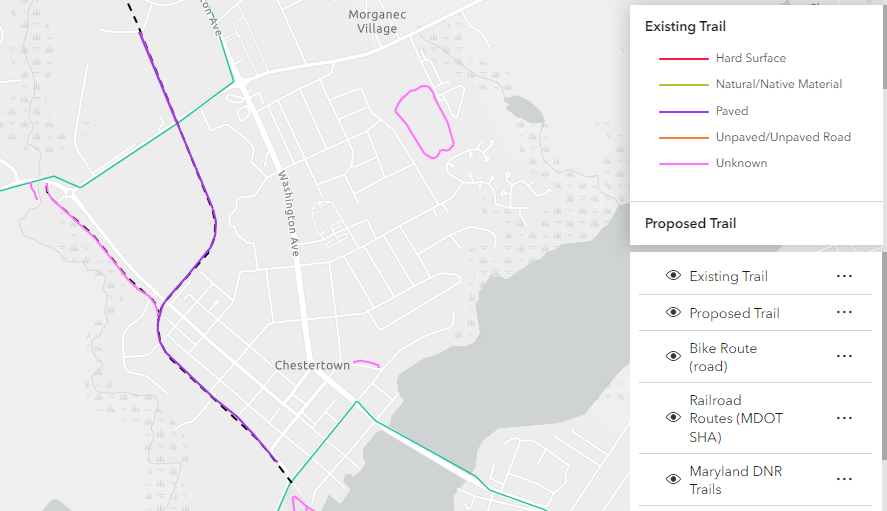
New Regional Trail Map Shows Existing and Potential Trails for a Growing Network

It’s going to be a great year for trails on the Eastern Shore, as we build on the successes of the Eastern Shore Trail Network Steering Committee from 2023.
With help from the National Park Service Rivers, Trails, and Conservation Assistance Program, our goals are to create a regional trail map, expand outreach and support, and create an Eastern Shore Trail Coalition. We are thrilled to announce we have completed our first goal in partnership with the Eastern Shore Regional GIS Cooperative, the Mid-Shore Regional Council, and the Rural Maryland Council.
This new map shows existing and planned trails on the Eastern Shore, as well as railroad routes for potential rails-to-trails projects. It also shows our Vision Map that trail advocates created at our initial workshop in April 2022. It is our hope that this map can help and inspire local governments and advocates to develop more trails to join this growing network.
But we are not done yet. In 2024, we will expand our already strong local support with county and municipal governments. This will fuel our ultimate goal of creating an Eastern Shore Trail Coalition that will be a valuable resource to help our local governments, specifically in planning and fundraising, and can continue to inspire and advocate for more trails.
This year is already off to a great start, and we want to celebrate the recent announcement of six Maryland Bikeways Grants that were awarded to Eastern Shore communities. Congratulations to St. Michaels, Oxford, Salisbury, and Princess Anne for your vision and dedication to trails. We will continue to share the great work being done to help create this Regional Trail Network.